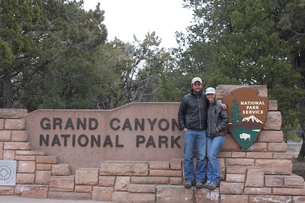
Since moving to Arizona. it has been my dream to hike to the bottom of the Grand Canyon. I put in for a backcountry permit and somehow my request was “lost.” So this year on our spring break, my wife and I drove up to the Canyon to apply for the few last minute walk-in permits. We camped for two nights and were lucky enough to snag two nights at Bright Angel Campground at the bottom of the Grand Canyon. Our plan was to hike down the South Kaibab Trail and two days later hike out on the Bright Angel Trail.
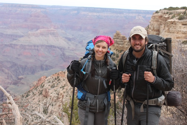
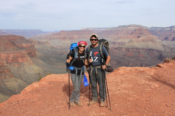
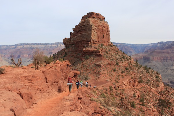
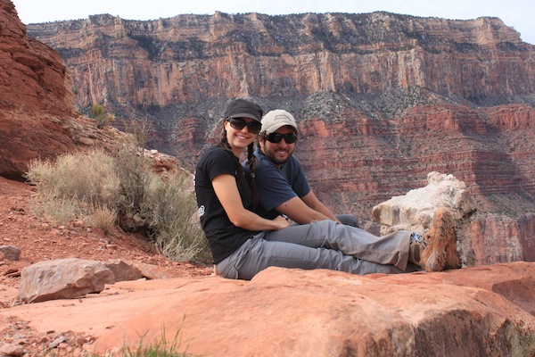
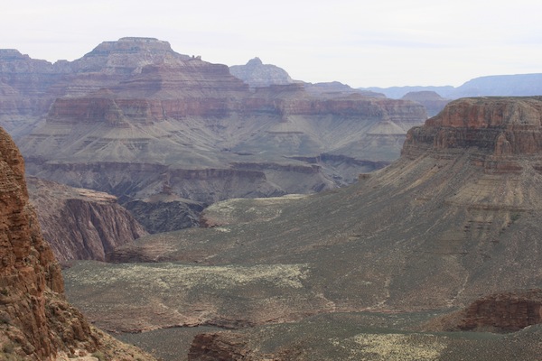
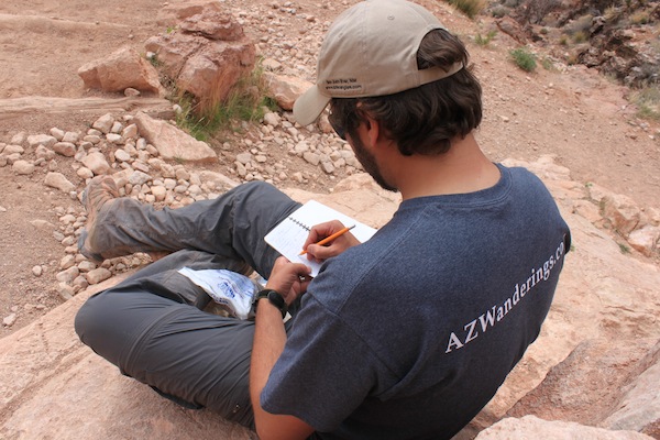
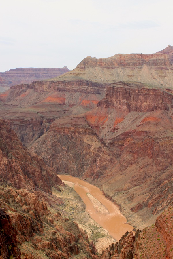
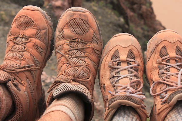
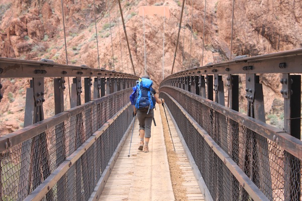
Below you will find a photo barage from the trail. I have also included my own trail notes on time and breaks for those that are looking for a bit of info before they head down the trail.
Temps – When we broke camp in the morning on top of the South Rim it was 27º. The day was overcast, but by the time we made it to the bottom it was 76º
Pack Weight: My packweight was 43lbs and my wife was carrying around 32. We were staying for two nights in the bottom and so brought a tent, food, and water to make it down the trail
- 8:45 – Started our descent
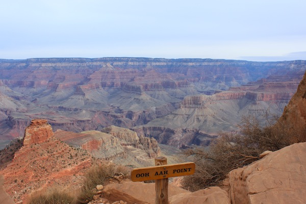
- 9:10 – Ooh Aah Pt.
- 9:25 – Cedar Ridge (took 15 minute break)
- 10:10 – Rock Pile below Cedar Ridge (10 minute break)
- 10:35 – Skeleton Pt
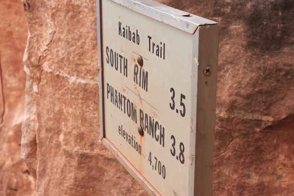
- 10:50 – 3.5 mile sign on steps (10 minute break)
- 11:40 – Tipoff (20 minute break/lunch)
- 12:50 – Break within sight of bridge (10 minute break)
- 1:20 – Arrive in campsite
Total Time: 4 hours 25 minutes
Break Time: 1 hour 5 minutes
Hiking time: 3 hours 20 minutes
Total distance is approximately 6.5 miles
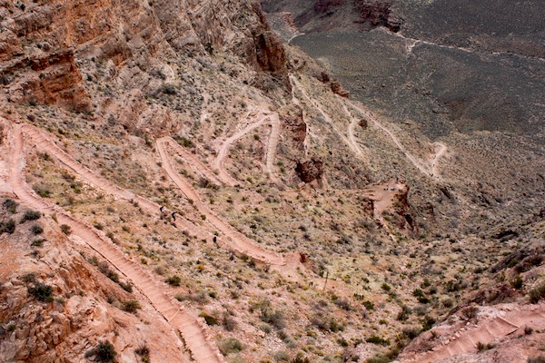


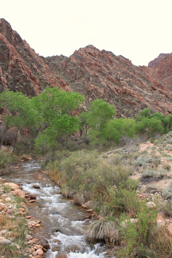

Nice description and photos of a fantastic hike. I don’t know about you, but after that steep downhill section past the Tipoff to the bottom, I was ready for the slight uphill along Bright Angel Creek.
Good job on getting the walk-in permits. Another related tip – you can check for cancellations at Phantom Ranch at the Bright Angel Lodge. They put your name on a list and if you are present the following morning after the lodge the check-in with the folks at Phantom, you might be able to score a reservation usually need months in advance. Even better, and if you are already down in the canyon, check in with the folks at the Ranch. First dibs on vacancies go to people already there and you can score accommodations before the conversation with the lodge up top. You do have to get up pretty early in the morning though. My mom and I were able to upgrade to a private cabin this way. I like to camp as much as the next guy, but bed and hot shower is a nice thing too.
Good info Mike. I was craving a shower there at the bottom. That would have ben nice. Thanks again for the kind words and the info.
Ben